How to Turn on 3D View on Google Maps
The 3D feature in Google Maps is a powerful tool for virtual tourism, and urban planning.


Turning on the 3D view in Google Maps is a great way to explore various cities and landscapes with a more realistic perspective.
This feature enhances the mapping experience by providing a three-dimensional representation of buildings, terrain, and landmarks. Below is a detailed guide on how to activate and use the 3D view in Google Maps on different devices.
For Desktop Users

To enable the 3D view on Google Maps when using a desktop browser, follow these steps:
- Open Google Maps: Go to the Google Maps website using your preferred web browser.
- Satellite View: On the bottom-left of the screen, you will see a square box labelled "Satellite". Click on this box to switch from the default map view to satellite imagery.
- Activate 3D View: In the satellite view mode, you'll find a "3D" button on the right-hand side of the screen, next to the compass. Click this button. The map will automatically tilt, giving you a three-dimensional perspective.
- Navigation and Exploration: Use your mouse to navigate in 3D. Click and drag to pan around the map. To adjust the angle or rotate the view, hold down the Ctrl key (Cmd on Mac) and drag your mouse. Scroll to zoom in and out.
For Mobile Users (Android and iOS)
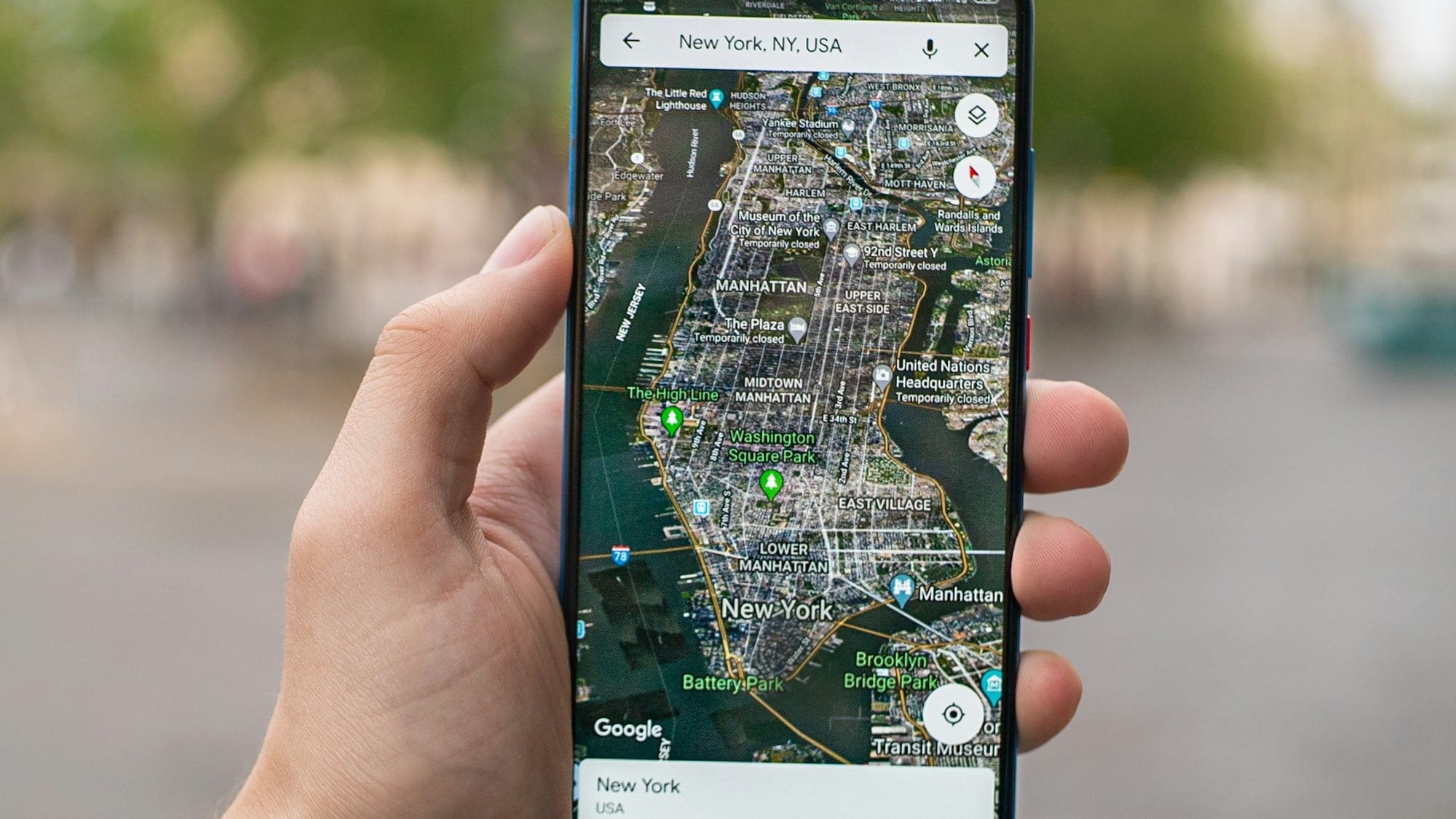
The process for accessing the 3D view on mobile devices is slightly different due to the touch interface:
- Open the App: Launch the Google Maps app on your smartphone. If you don’t have it installed, you can download it from the Google Play Store or Apple App Store.
- Choose Satellite View: Tap on the layer icon, typically found on the upper right corner of the screen, which opens the map type selection menu. Select "Satellite" from the list of options.
- Enable 3D View: Unlike the desktop version, the mobile app often requires a gesture to activate the 3D view. Simply use two fingers to swipe up on the screen, and the view will tilt, shifting into 3D mode.
- Explore in 3D: Move around the map by dragging with one finger. Pinch to zoom in and out, and rotate the view by twisting two fingers on the screen.
Conclusion
The 3D feature in Google Maps is a powerful tool for virtual tourism and urban planning, or simply exploring the geography of an area more interactively and engagingly.
Enabling a three-dimensional display of cities, landscapes, and landmarks can help enrich the user experience and also serve practical applications in planning and exploration.


